sábado, junio 23, 2007
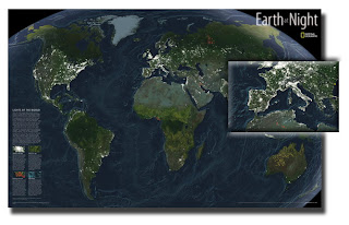
National Geographic Earth at Night Map

This intriguing map reveals in stunning detail the pulsating lights of the Earth at night. See where populations are most and least concentrated. The rare view is a composite image made by three satellites on cloud-free nights over a one-year period. In addition to showing lighted areas of the Earth, this map also features where fires rage and natural gas burn-off and night fishing locations.
1 JPG | High resolution | 6000 x 3794 pixels | 9 MB
Download from RS: here.
http://rapidshare.com/files/38904602/earth_at_night.rar